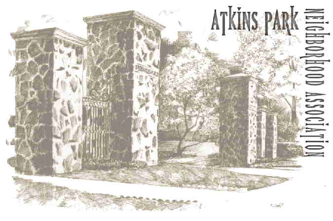
The boundaries of Atkins Park run roughly in the rectangle created by a line drawn from the intersection of Briarcliff Avenue and Ponce de Leon to N. Highland Avenue, then north to St. Louis Place. The rear boundaries of the houses on the north side of St. Louis up to Briarcliff Avenue, and then south to our beginning intersection at Ponce de Leon describe the area known as “Atkins Park.”
Atkins Park was included on the National Register in 1982, and is listed on Atlanta’s local roster of historic sites and districts. It has been designated as an Urban Conservation and Development Area, giving this former streetcar suburb national, state, and local recognition.
Today, the residential blocks abut a lively midtown area of restaurants, bars, and boutiques, housed in most cases in original commercial buildings of the same vintage on North Highland Avenue. The Atkins Park
Restaurant and Bar has been in continuous operation since the 1920s, relatively unchanged. Fleeman’s Pharmacy, one of the original businesses recently closed, has evolved into Belly’s, which wisely retains the same ambience. One-half mile north on N. Highland Avenue is the main intersection of the Virginia Highland commercial district; tree-lined with a large garden island dividing traffic, it is of compatible design and a natural focal point to the north of the neighborhood. A natural focal point to the south is the 1939 Ponce de Leon Shopping Plaza, the first shopping plaza in Atlanta. Originally designed to serve Asa Candler’s nearby Druid Hills, it has provided a retail focus for the entire midtown area. There still remain vestiges of the original architectural signs at the Majestic Diner and the Plaza Theater. The demise of the Plaza Drug Store in the flagship position at the Highland end of the retail strip, is still lamented by old timers and historians alike.